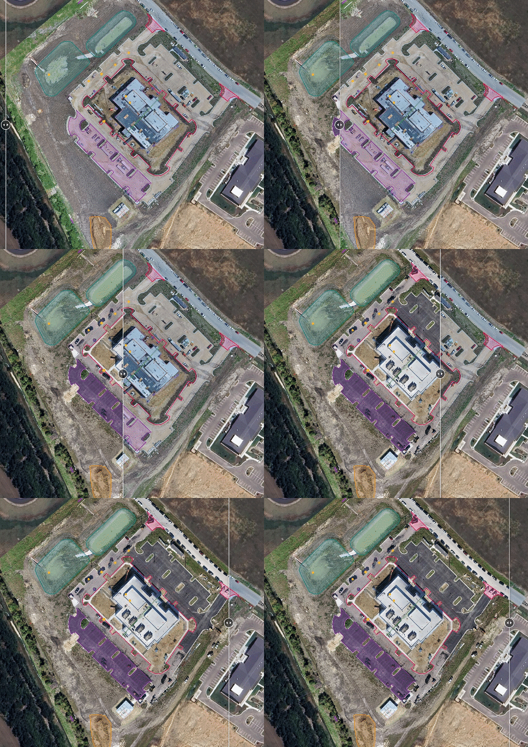
Welcome to Orbis UAV's Aerial Mapping Service – where innovation meets precision to redefine how you visualize and analyze large-scale environments. Leveraging advanced photogrammetry techniques, we transform aerial imagery captured by our state-of-the-art drones into highly accurate 2D and 3D maps of land, construction sites, and expansive areas.
Photogrammetry, at its core, is the science of extracting precise measurements and three-dimensional data from photographs. By capturing overlapping aerial images from different angles, our drones meticulously reconstruct terrain, structures, and objects with astonishing detail. This process enables us to create topographic maps that accurately depict elevation changes, contours, and features of the land.
But our capabilities extend far beyond basic mapping. With Orbis UAV, we empower site supervisors and project managers with the ability to conduct volumetric analysis of materials such as sand, gravel, and earth. By accurately measuring the volume of stockpiles and excavations, our maps provide invaluable insights for inventory management, resource allocation, and project planning.
What sets our aerial mapping service apart is its unparalleled accuracy. Our maps boast sub-centimeter level precision, ensuring that every contour, elevation point, and structure is faithfully represented. Whether you're monitoring progress on a construction site, conducting land surveys, or managing natural resources, you can trust Orbis UAV to deliver maps that exceed expectations and empower informed decision-making.
Experience the future of aerial mapping with Orbis UAV – where precision, innovation, and reliability converge to redefine how you see the world from above.


